Project Overview

Upper Prairie Silver Moores
Flood Risk Reduction Project

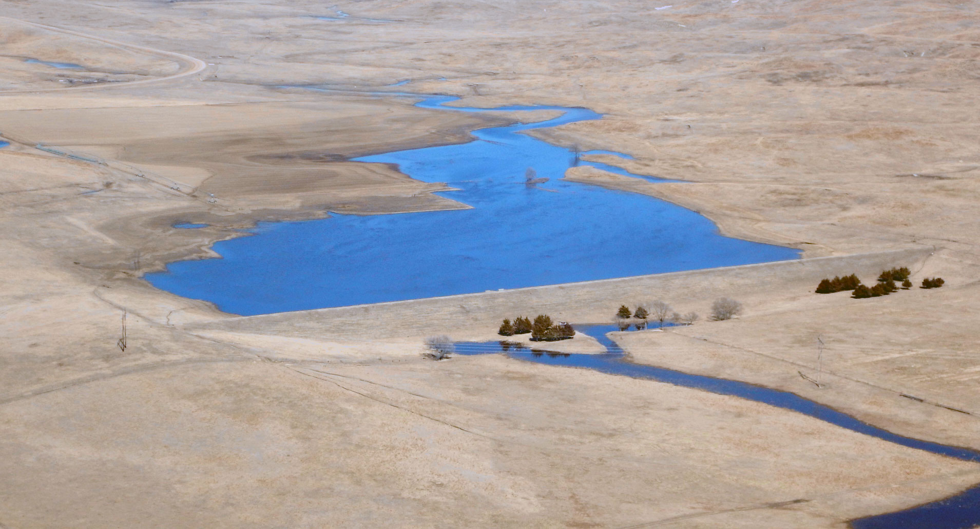
Multiple flood control structures combine to greatly reduce flooding in northwest Grand Island, NE. Constructed over
10 years, it is the most comprehensive flood control project ever pursued in Grand Island.

Shown at right is an estimated 100-year flood impacts before and after the flood risk reduction project.

 
SidebySide_11052020.jpg
 
Test-2.png
 
 
cells-5(web).jpg

Project Goals

Reduce flooding for residents, business, and farmers in the northwestern Grand Island, which floods regularly.

Update FEMA flood maps to reflect the flood risk reduction benefits work completed thus far, which will remove a portion of the properties currently in the floodplain.

Educate citizens on the residual risks associated with living near flood control structures.

 
500-Year_PRE-website.jpg
 

The Need

The Grand Island area is prone to flooding

On average, there is one flood every year somewhere in the CPNRD’s jurisdiction, with a major flood occurring every six years.

In May 2005, Grand Island sustained $3-5 million in damages during a flood event. In March 2019, due to the construction of the project being completed, Grand Island avoided $47 million in potential damages. The map shown left shows the potential inundation areas if the project had not been constructed.


The results

The project reduces flooding for northwest Grand Island

The Upper Prairie Silver Moores project is part of a larger, ongoing effort to reduce flooding in the Central Platte district.

More than 14,500 acres of agricultural ground will help reduce the flooding risk for a 100-year event, avoiding an estimated $18 million of damages and reducing the flooding risk for approximately 172 homes and businesses during the same event.

Every $1 invested in the project sees $1.33 returned in flood damage savings.


floodevent(dam).jpg
 

The slider map above shows the floodplain maps before and after the project. Drag the blue line to see the impacts this project has had on the floodplain.


Flood Insurance

A letter of map revision (LOMR) to FEMA from CPNRD has been approved

CPNRD has received acceptance of a LOMR from FEMA, effective September 25, 2020. Approximately 600 properties were removed from the 100-year floodplain, as shown on the effective FIRM, with an estimated $500,000 - $1 million* annual flood insurance premium cost reduction benefits.

*Estimated based on number of properties removed from the floodplain by the LOMR and assumed coverage amounts - actual amounts will vary on a property-by-property basis.


note:

While flood insurance may no longer be required within certain areas, the CPNRD encourages property owners to consider purchasing lower cost flood insurance through a Preferred Risk Policy (PRP) as an additional safety measure.